
Survey Insights & Technical Articles
Expert geomatics intelligence, regulatory updates, and field-proven methodologies across KSA's surveying industry.

Understanding KSA-GRF17: The Sovereign Geodetic Backbone of Saudi Mega-Projects
A deep dive into the Kingdom of Saudi Arabia Geodetic Reference Frame 2017 (KSA-GRF17), CORS network alignment with ITRF2014, and the mandatory replacement of legacy Ain el Abd 1970.

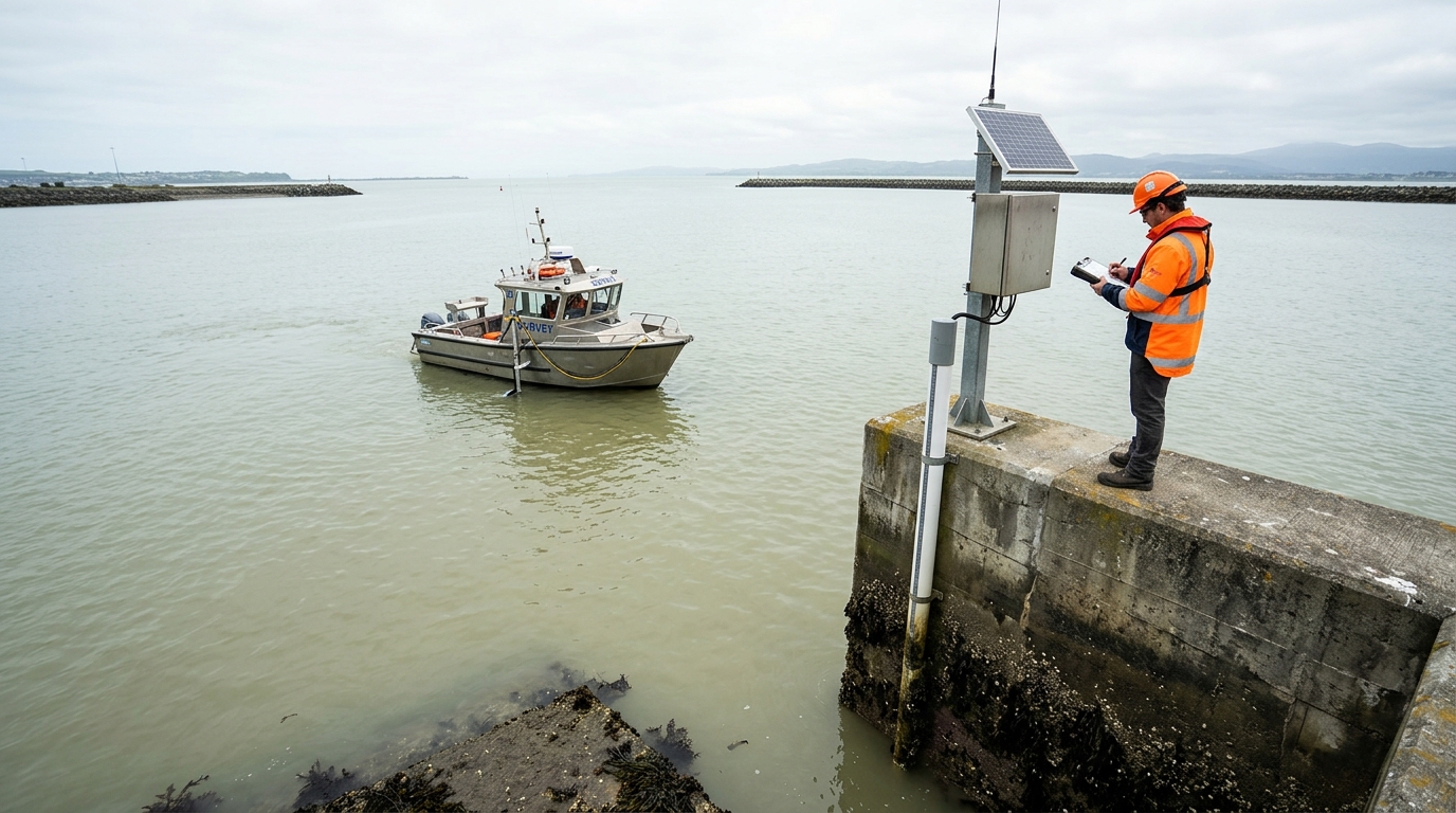
Multibeam Swath Bathymetry in Arabian Gulf Waters: Solving Sound Velocity & Halocline Challenges
Technical analysis of extreme salinity (42-46 PSU) and thermal stratification in the Jubail and Dammam coastal basins, and why dual-hourly SVP profiling is critical to meet IHO S-44 Special Order soundings.

Commercial UAV LiDAR & Aerial Photogrammetry: 2025 GACA & GEOSA Compliance Guide
Navigating GACA civil aviation commercial drone permits, GEOSA sovereign sensor approvals, and airspace coordination for industrial corridor mapping in KSA.
Have a Survey Project in KSA?
Submit your project scope and get connected with licensed geomatics engineers within 120 minutes.
description Request Scope Review